
How to research an area before buying a house
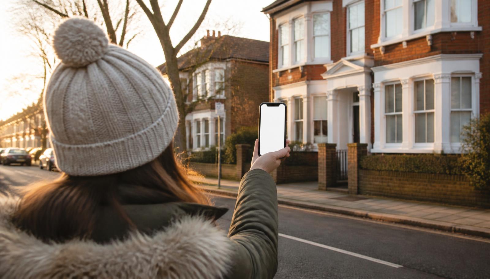
You can change almost everything about a house. You cannot change the street it stands on. The research that matters most is the part people do least: spending real time in the area, at different hours, on foot — combined with a handful of free official checks that take about half an hour in total.
- Visit at least three times: a weekday morning, a weekday evening and a weekend.
- Walk the streets rather than driving them — you notice noise, parking and upkeep at walking pace.
- Check flood risk, crime data, school inspections, broadband coverage and planning applications online.
- Compare sold prices street by street; neighbouring roads can differ substantially.
- Local knowledge beats any listing description — talk to people who already live there.
Visit at different times of day
An area behaves differently at 8am, 3pm, 7pm and midnight on a Saturday. Visit at least three times before you offer, and include one evening and one weekend.
- Weekday morning: commuter traffic, school run congestion, how hard parking becomes.
- Weekday afternoon around 3pm: school pick-up, which can transform a quiet road for half an hour.
- Weekday evening: whether residents are home, how well lit the streets are, how safe it feels.
- Friday or Saturday night: pubs, takeaways, taxis, noise from nearby venues.
- Sunday morning: the true baseline. Church bells, markets, sports grounds and how quiet it really gets.
“My best piece of advice when house hunting is to visit the property at different times of the day and see what the surrounding area is like. Is it particularly noisy at a certain time of day? You only find that out by being there.”
Walk the area, don't just drive it
Driving shows you the route. Walking shows you the pavements, the litter, the state of the front gardens, the noise and how far things really are.
Walk a loop of roughly fifteen minutes in each direction from the property and note:
- Whether pavements, street lighting, hedges and verges are maintained.
- The mix of housing — owner-occupied family homes, flats, student lets, holiday lets or HMOs.
- Whether the streets either side feel materially different from the one you are buying on.
- How long it actually takes to reach the station, the shops and the school on foot.
- Site notices tied to lamp posts and hoardings — these are live planning applications.
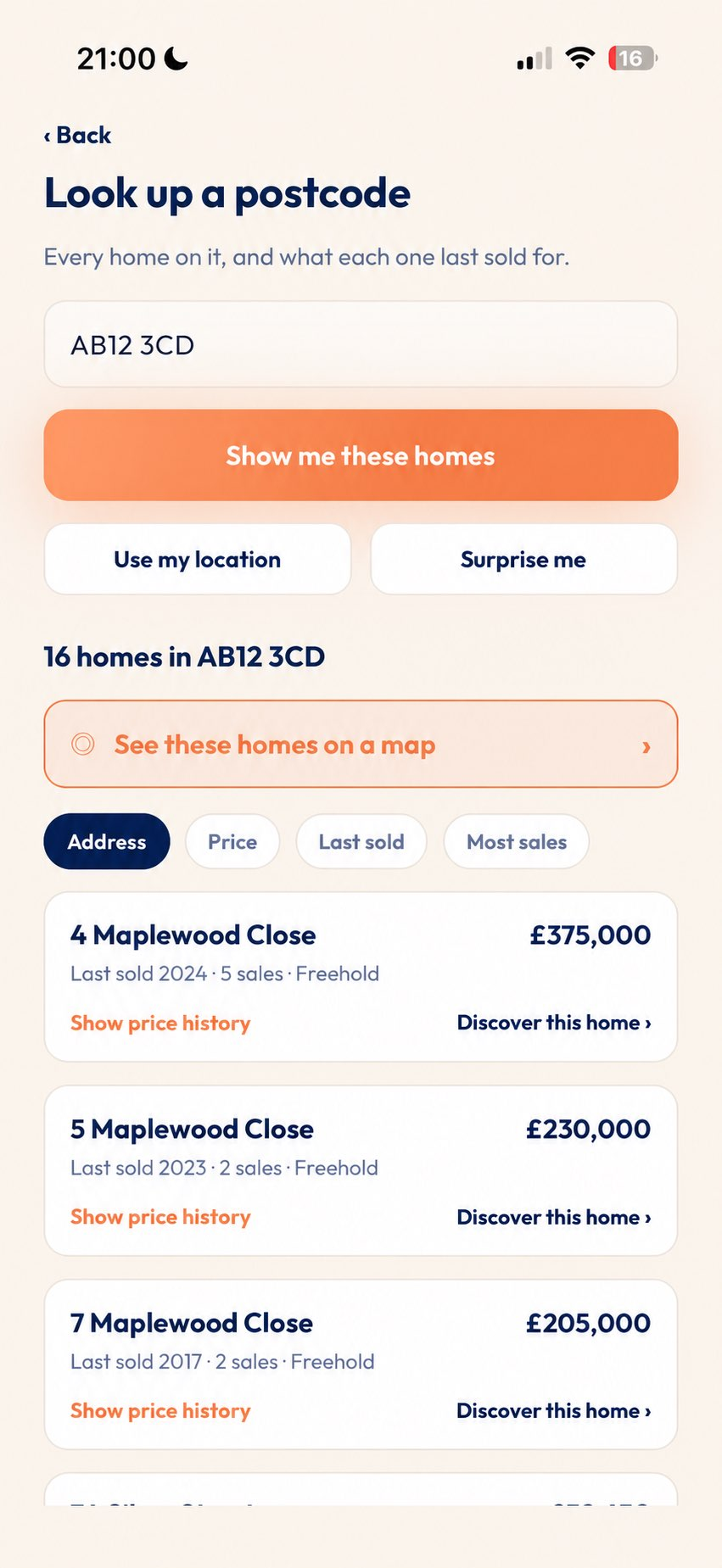
This is exactly where PicAHome fits. PicAHome is a free UK app that identifies a home from a photo taken while you are outside it, or from a postcode, and shows what is publicly known about it — including its previous sold prices and, where it is currently listed for sale and that information is available, its asking price. Walking an unfamiliar area, you can point your phone at any house that catches your eye and find out about it there and then, instead of noting down addresses to research when you get home. It is the difference between doing your property research while you explore and trying to reconstruct it later from memory.
Traffic, parking and public transport
Test the commute you would actually make, at the time you would actually make it, and look at how full the street is in the evening rather than at midday.
- Do the journey to work at rush hour, by the mode you would use, not the mapping app's optimistic estimate.
- Check whether parking is allocated, permit-only or unrestricted, and what a residents' permit costs from the council.
- Look at the street at around 8pm on a weekday — that is peak residential parking.
- Check bus frequency and last services, not just that a route exists.
- For rail, look at the actual timetable and how often services are cancelled on that line.
- Note any rat runs, box junctions, low traffic neighbourhood schemes or clean air zone charges.

Schools, shops and amenities
Check inspection reports for schools and confirm admissions with the local authority. Catchment areas change year to year and a listing's claim is not a guarantee of a place.
School inspection reports for England are published by Ofsted, with Estyn covering Wales, Education Scotland covering Scotland and the ETI covering Northern Ireland. Admissions are handled by the local authority or the school itself — check directly with them, and ask how far the last successful applicant lived from the gate.
- GP surgeries and NHS dentists actually taking new patients.
- A supermarket, a pharmacy and somewhere for a pint of milk within walking distance.
- Green space, leisure centres, libraries and somewhere for children to play.
- Whether the high street is thriving or full of shuttered units — a strong indicator of an area's direction.
Broadband and mobile connectivity
Check the exact address, not just the town. Availability can differ street by street, and rural and older urban areas often lag.
Ofcom's broadband and mobile coverage checker reports available speeds and network coverage by postcode and address. Openreach's own availability checker shows whether full fibre has reached the property. If you work from home, also test the mobile signal indoors while you are at the viewing — coverage maps are predictions, not measurements.
Development plans and what's being built nearby
Search the local council's planning portal for the postcode and surrounding roads, and read the Local Plan for what is allocated for development over the coming years.
Find the right authority through GOV.UK's find your local council. Look for large applications on nearby land, changes of use on the high street, and allocated housing sites in the Local Plan. A field behind the garden is only a view until it is a planning permission.
Flood risk, crime and council information
All three are published free and take a few minutes each. Read them as area context rather than a verdict on one address.
- Flood risk: the long term flood risk service for England, with Natural Resources Wales, SEPA and the Department for Infrastructure covering the rest of the UK. Higher risk affects insurance and lending, so speak to an insurer early.
- Crime: street-level reported crime and outcomes are published at police.uk. Compare with neighbouring areas rather than reading raw counts.
- Council tax: bands are on GOV.UK, and the charge per band is on the council's own site. Two adjacent areas can sit under different authorities with different bills.
- Council services: bin collections, recycling, parking permits, and the council's own financial position and inspection history.
Look at the types of property in surrounding streets
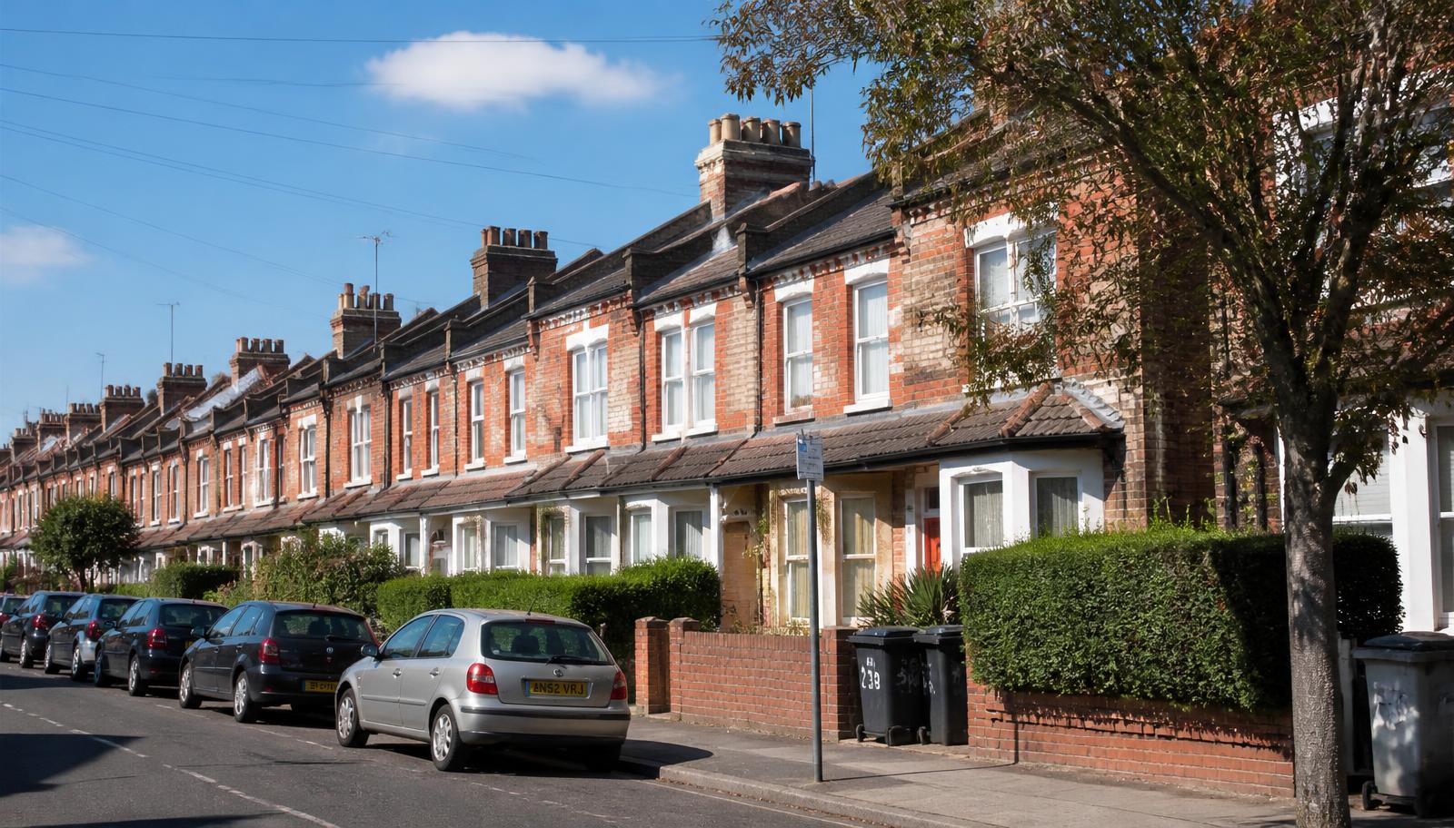
The housing mix around you tells you who your neighbours will be and how stable the area is likely to be.
- A street of family homes behaves very differently from one converted largely into flats.
- A high concentration of short lets or student lets changes noise levels and turnover.
- Well-kept front gardens, replaced windows and recent extensions suggest people are investing and staying.
- New-build estates nearby can affect both traffic and resale competition.
Understanding local prices and comparing streets
Look at what has actually sold, street by street, rather than what is currently being advertised. Neighbouring roads can differ by a surprising margin.
Sold prices in England and Wales come from HM Land Registry and are free to search; Registers Scotland and Land & Property Services publish the equivalents. Compare the same property type and size, prefer recent sales, and look at several rather than one. Our guides to house prices on a street and asking price versus sold price explain how to read them properly, and checking a property's sale history covers the record for an individual home.
Questions worth answering with sold price data
- What does a three-bed semi typically achieve on this road, and on the two roads either side?
- How wide is the spread between the cheapest and dearest sales of the same type?
- How often do properties here change hands?
- Is the asking price on the house you like inside the range of recent local evidence?
A step-by-step area research plan
Work through these in order over a fortnight before you offer.
| Step | What to do |
|---|---|
| 1 | Desk research: sold prices, flood risk, crime data, council tax band, broadband coverage. |
| 2 | Planning: search the council portal for the postcode and read the Local Plan. |
| 3 | Schools: read inspection reports and confirm admissions with the local authority. |
| 4 | First visit, weekday daytime: walk a fifteen-minute loop, check parking and amenities. |
| 5 | Second visit, weekday evening or Friday night: noise, lighting, parking pressure. |
| 6 | Third visit, weekend: use the area as a resident would — shops, park, café, transport. |
| 7 | Commute test at the real time, by the real route, on a normal weekday. |
| 8 | Talk to people: neighbours, shopkeepers, the pub, a local community group. |
Spend time in the area before making an offer
Do something ordinary there. Have a coffee, do a food shop, catch the bus you would catch. An hour of behaving like a resident is worth more than a day of reading listings.
Talk to people while you are there. Neighbours will tell you about parking, bin days, flooding and the noisy pub in a way no dataset will. If you are viewing a specific property, our house viewing checklist covers the property itself, and researching a house before buying covers the records for that address. None of it replaces a conveyancer's local searches, which formally check the things a walk around cannot.
Frequently asked questions
How do I research an area before buying a house in the UK?
How many times should I visit an area before buying?
How can I check crime rates in an area?
How do I find out about planning applications and development near a property?
How do I check broadband and mobile coverage at an address?
Are school catchment areas guaranteed?
How do I compare house prices between neighbouring streets?
What is PicAHome and how does it help with area research?
Seen a home you're curious about?
Point. Discover. Know.
Download PicAHome and start discovering the properties around you. Free, with unlimited Discoveries on a free account.
Scan to download PicAHome and start discovering.
Keep reading
How to get alerts when a house comes up for sale
Portal alerts, local agents and street notifications each catch different opportunities. Here's how to set them up without getting buried in listings.
Read articleI've seen a house I like, but it's not for sale. What can I do?
Research it properly, register with the agents who sell on that street, write once to the owner, and set an alert on the road. What works, and what doesn't.
Read articleWhat to look for when viewing a house: a UK buyer's checklist
Damp, cracks, the roof, water pressure, noise and parking — a room-by-room checklist for UK house viewings, and the questions worth asking the agent.
Read article